Hopefully the folks at Mount Rainier National Park aren't tempting fate this Saturday when they test their Geohazard Warning Siren at the Nisqually Entrance.
The test is slated to be run at noon. Park officials want to test the new system and attempt to familiarize visitors, local residents and staff with the siren in the event of an actual geohazard.
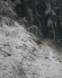
The Geohazard Warning Siren is designed to warn park staff and visitors of sudden geohazards, including lahars and smaller debris flows. Without warning, debris flows and glacial outburst floods can occur at any time, eroding stream banks and scouring everything in their paths, including rocks and trees.
In case such an emergency occurs within the park, it is recommended that visitors head up hill, away from rivers and streams, and rising water. Avoid crossing any running water once the siren has been activated. Geohazard sirens are located at Cougar Rock Campground, Longmire, and Nisqually Entrance.
Park officials say some residents of Pierce and Lewis counties might hear the siren once activated. And they add that if you are a resident of Pierce County, it is recommended that you contact the Pierce County Department of Emergency Management at 253-798-6595 for more information on Mount Rainier related geohazards. Additionally, you can read information from the Pierce County Department of Emergency Management on their website.
Residents of Lewis County can contact the Lewis County Sheriff’s Office, Division of Emergency Management at 360-740-1151 and also check on line at this site https://fortress.wa.gov/lewisco/home/LC/EM/Default.aspx?lcID=31 for more information on Mount Rainier related geohazards.
For those not living close to the park, if you want more information on geohazards at Mount Rainier or want to listen to an audio demonstration of the Geohazard Siren tone, check out the park's web site.
Why the concern?
Active steam vents, periodic earth tremors, and historic eruptions provide evidence that Mount Rainier is a sleeping volcano, not a dead one. Seismic monitoring stations around the mountain should provide days or weeks of advance warning of impending eruptions. Other geologic hazards, however, can occur with little to no warning. These include debris flows and rockfalls.


Add comment