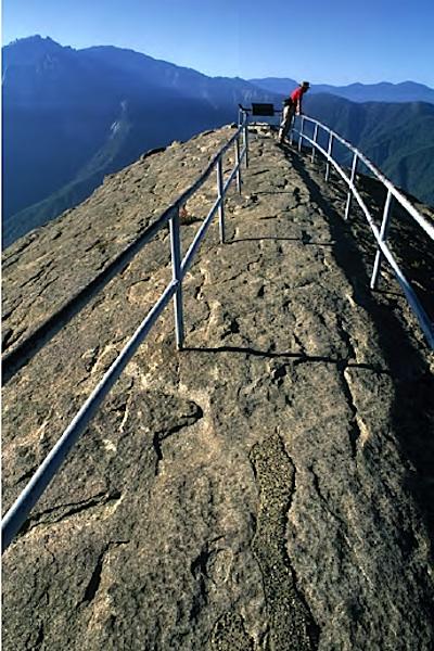
Moro Rock in Sequoia offers panoramic views along the Kaweah River watershed/Patrick Cone
Fall is a season of transition in the National Park System, from long, hot days with crowded roads and trails, to cooler, crisper weather that beckons you to make a few more trips before winter sets in. Here is the second of four suggestions to jump on now, or to add to your to-do list.
The Land Of Giants
California's Sierra Nevada Mountains run 400 miles from north-to-south, an uplift of stone that forms the state's eastern wall with wild river gorges, vast forests, towering trees, and rocky heights. While Yosemite's ramparts draw the millions, the glacial valleys of Kings Canyon and Sequoia national parks just to the south are less traveled and still wild, especially in the high country. Autumn is a great time for a tour and hike, but watch the clouds: winter could make an early appearance.
Start your tour at the General Grant Grove section of Kings Canyon National Park, an hour east of Fresno, California. Here you'll visit the largest natural grove of giant sequoias in the world. Then follow the scenic byway of Highway 180 30 miles to Cedar Grove Village, where you can pick a direction to explore: head north, east, or south into the wilderness. Take a day hike up Paradise Valley to Misty Falls to cool off.
Backcountry users can also approach the park from the Owens Valley and Onion Valley, on the east side of the range, and hike over Kearsarge Pass, where you can camp, climb, and fish away from it all.
South from Kings Canyon, head towards Wuksachi Lodge in Sequoia National Park, just 26 miles along the serpentine highway, and visit the General Sherman Tree, the largest in the world. It's 103 feet around the base, and towers to a height of 274 feet.
Sequoia offers great access to the high country, and the headwaters of the mighty Kern River. But if you want to climb Mt. Whitney, the Lower 48's highest at 14,505 feet, you'll need to drive another 300 miles around the mountains to its portal: probably not this trip.
To really flee the crowds, head south from Wuksachi all the way down to the Foothills Visitor Center, then follow the winding, and narrow, road to Mineral King (once proposed as a ski resort), but leave your trailer behind for this dead-end road. Once there, soak in the grandeur with a hike on the Monarch Lakes Trail.


Add comment