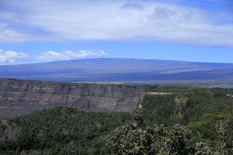
There has been increased seismic activity in recent months at Mauna Loa Volcano, but geologists say it's not a precursor to an eruption/NPS, David Boyle
An ongoing series of shallow earthquakes, along with ground deformation, point to something going on with Mauna Loa volcano at Hawai'i Volcanoes National Park, though U.S. Geological Survey staff stress an eruption is not imminent.
It's been more than three decades since Mauna Loa, the world's largest active volcano, has erupted. For the past several months, though, the number of earthquakes and ground deformation rates have exceeded long-term background levels, USGS reported Tuesday.
"An eruption is not imminent and current rates are not cause for alarm. However, they do indicate changes in the shallow magma storage system at Mauna Loa," the agency said.
Mauna Loa is among Earth's most active volcanoes, having erupted 33 times since its first well-documented historical eruption in 1843. It has produced large, voluminous flows of basalt that have reached the ocean eight times since 1868. It last erupted in 1984, when a lava flow came within 7.2 km (4.5 mi) of Hilo, the largest population center on the island. Mauna Loa is certain to erupt again, and with such a propensity to produce large flows, we carefully monitor the volcano for signs of unrest.
The latest series of earthquake swarms on the volcano started last October. Since then, seismic monitors have recorded an average of at least 50 shallow, small-magnitude earthquakes per week beneath Mauna Loa's summit, upper Southwest Rift Zone, and upper west flank, said USGS. "This compares to a rate of fewer than 20 per week in the first half of 2018. Shallow earthquakes are occurring in locations similar to those that preceded Mauna Loa's most recent eruptions in 1975 and 1984."
USGS staff also have measured "renewed recharge of the volcano's shallow magma storage system. The current rate and pattern of ground deformation is similar to that measured during inflation of Mauna Loa in 2005 and again from 2014 - 2018."
While the agency said the geologic indicators don't point to an imminent eruption or even that the volcano's system is progressing towards an eruption, it did elevate the volcano's alert level from "normal" to "advisory." A similar increase in activity occurred between 2014 and 2018 and no eruption occurred.
"An advisory alert level reflects that the volcano "is exhibiting signs of elevated unrest above known background level or, after a change from a higher level, volcanic activity has decreased significantly but continues to be closely monitored for possible renewed increase."
This timelapse sequence of webcam images over a 24-hour period shows a typical day at the summit of Mauna Loa. The webcam (MLcam) is located on the northeast rim of Moku‘āweoweo, Mauna Loa's summit caldera. This sequence begins in the dark, with the moon rising (white dot at left in images), then brightens as the sun rises. Clear skies in the morning shift to cloudy conditions in the afternoon, with a light snowfall creating a white dusting on the caldera floor. USGS webcam imagery, 04/29/2019.
According to the USGS, "Mauna Loa, the largest active volcano on Earth, rises about 4,170 m (13,680 ft) above the Pacific Ocean. But the submarine part of the volcano descends an additional 5,000 m (16,400 feet) to the sea floor, which is depressed by Mauna Loa's enormous mass another 8,000 m (26,250 feet). So, from its base to its summit, Mauna Loa is more than 17,000 m (56,000 feet) high. Mauna Loa encompasses more than half the area of the Island of Hawai‘i. It is larger than all the rest of the Hawaiian Islands combined."
Mauna Loa's "sister" volcano, Kīlauea, erupted for much of 2018.


Add comment