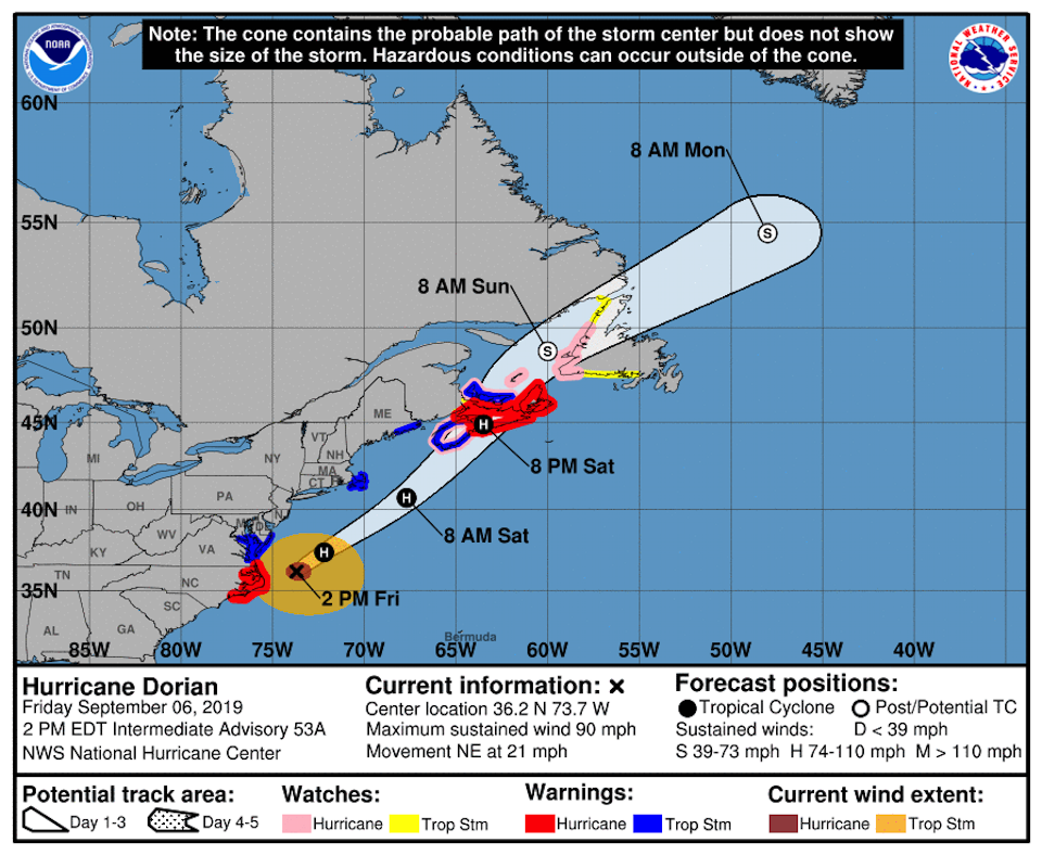
Hurricane Dorian made landfall over Cape Hatteras National Seashore on the Outer Banks of North Carolina on Friday morning, knocking out power to some areas of the barrier islands and creating a storm surge that reportedly sent many residents into their attics. Aircraft were dispatched from the mainland to evacuate residents who needed to leave.
Dorian made landfall as a Category 1 hurricane just after 8:30 a.m. local time Friday and quickly headed back out to sea. By 2 p.m. it was 125 miles northeast of the outer Banks. There was no immediate word of damage to the national seashore, though park staff said on their Facebook page that "(A)s the storm moves on, conditions will still be dangerous for some time due to storm surge, wind, and standing water. All national park facilities remain closed."
Dare County officials extended the curfew until 3 p.m. local time Friday for all areas of the county, which includes Hatteras Island, except Kitty Hawk and Nags Head.
"As forecasted, life-threatening conditions are impacting the area including extreme soundside flooding. STAY INDOORS, SHELTER IN PLACE," the county urged in a press release. "Emergency responders will be unable to respond to calls for assistance when conditions put their safety at risk. All of Hatteras Island is without power."
At neighboring Hyde County, which includes Ocracoke Island on the Outer Banks, officials said they were "dispatching air transportation units to help evacuate residents that need to leave. We have a shelter set up in Washington County that has food, medical supplies, and power. Air units will take residents to Dare County and then be transported by vehicle to the shelter location."
Ferry transportation was unavailable Friday, and crews planned to evaluate the ferry routes Saturday.


Add comment