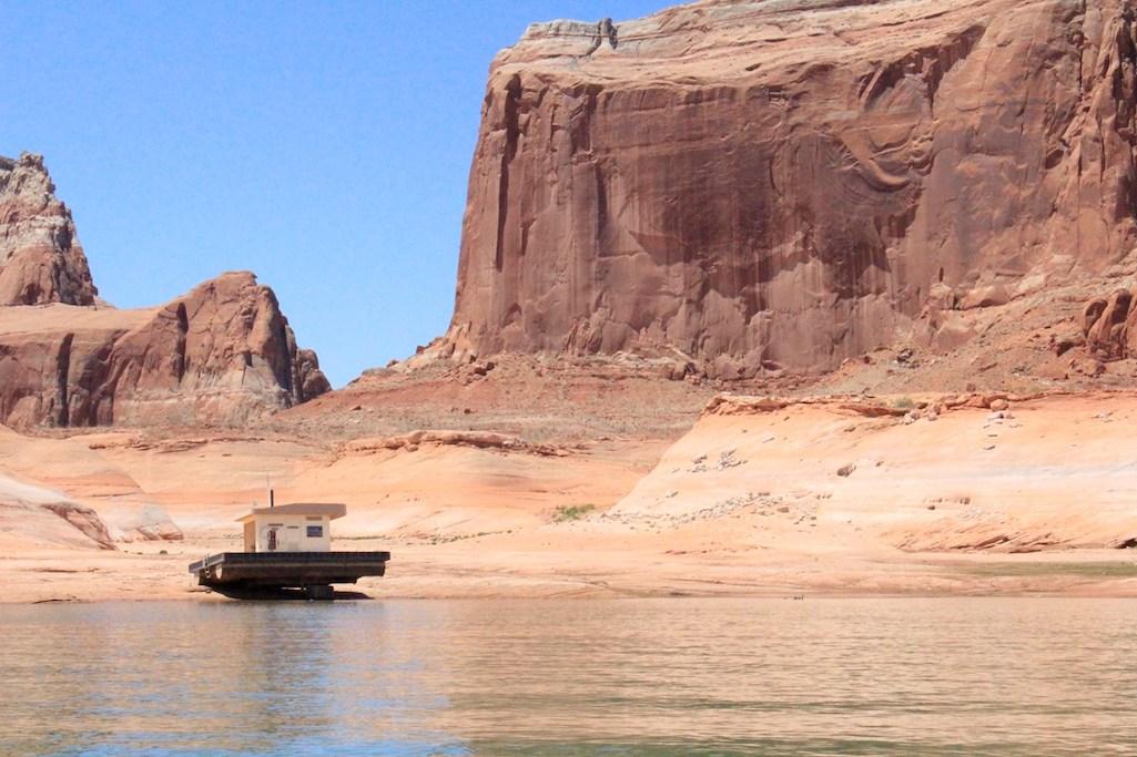
Changing lake levels have left this floating restroom stranded on rock. The bathroom, once located near Dominguez Butte, has been moved to deeper water as of June 2021/NPS
As water levels continue to drop at Lake Powell in Glen Canyon National Recreation Area in Utah and Arizona, the National Park Service has launched a website dedicated to tracking which boat ramps are operational.
Since 2001, declining water levels due to climate change and 20 years of drought have reshaped Lake Powell’s shoreline, said park staff.
- Significant changes to the shoreline will affect usability of boat launch ramps throughout the year, especially in warmer months. Visitors are asked to plan ahead and prepare for longer lines, limited parking and congestion at boat ramps and docks. To relieve launch ramp congestion, you should ready your boat at a nearby parking lot before driving to launch ramps. View the current status of your preferred launch destination before heading to the lake.
- On Lake Powell, boaters should be aware that as water levels drop, channels may narrow leading to increased boat congestion. Boaters should exercise caution in all areas of Lake Powell. Availability of restrooms, floating walkways, pump out, fuel and convenient stations may vary. View the current status of on-lake facilities.
There are many new places to explore as water levels change, and the scenic shoreline is always evolving. Check current lake levels to plan ahead and prepare for your visit to Glen Canyon.
For real-time updates on the elevation of Lake Powell, visit this site.


Comments
Katirna - If there is a trend over the last 130 years, it is toward being wetter, not dryer. www.epa.gov/climate-indicators/climate-change-indicators-drought
A quote from the EPA page:
(edited to fix link that contributes facts rather than fiction)
Exactly, or that millions of people are moving to a desert and want the same amount of water they used in non desert regions. They are pulling the water for supplying water to Lake mead and every person that thinks expanding Las Vegas is a great idea