Earlier this year we described a campaign to see the Sierra National Forest given to the National Park Service and redesignated the Range of Light National Monument. It would be bookended by Yosemite National Park on the north, and Kings Canyon National Park on the south.
Such a change in agency management would create a nearly 3-million-acre kingdom of parklands when you realize that Kings Canyon butts up to Sequoia National Park to the south.
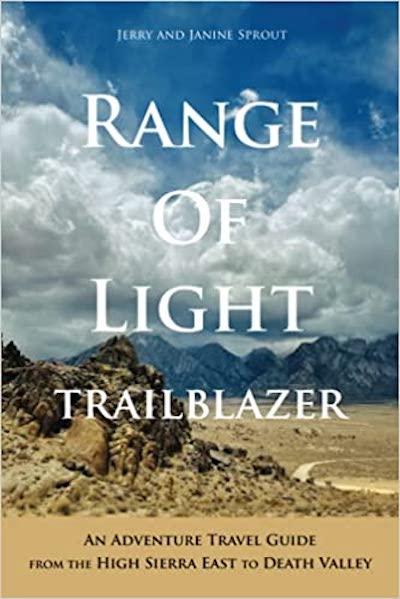
For the parks traveler, this would be an incredible landscape to explore. And there's even a guidebook out there to help you navigate many of those 3 million acres and more, for this book, Range of Light Trailblazer, also touches on Death Valley National Park.
Written by Jerry and Janine Sprout, this nearly 300-page softcover book opens with a few pages of geological background to help you understand how this rumpled and soaring landscape came about. You're then led across 20,000 square miles that's defined on the western edge by the roof of the High Sierra and, roughly, U.S. 395, and on the eastern side by Death Valley, which the authors refer to as the "bottom of the drain" for all the water flowing downhill on the eastern side of the Sierra.
Between the covers you'll find short descriptions of nearly 140 hikes in this landscape, passing details on more than 100 campgrounds, and where you can find more than 125 areas for dispersed camping (e.g., no reservation necessary, no defined campsite).
The book is divided into 31 regions, from Mono Lake just east of Yosemite to Beatty, Nevada, and Death Valley National Park. Each region then is broken down into various topics, ranging from hikes and campgrounds to scenic drives and particular spots that struck the Sprouts' interests. To help you gain your bearings, each region opens with a map that touches on areas covered in the chapter.
On the page facing that map, you'll find a brief overview of the region; the specific hikes the authors detail in that region; weather basics, such as number of days with temps between 90 and 100 degrees, possible number of days below freezing, and months with average highs above 50 degrees; and sites in the region the authors like.
The entries for hikes provide the basics -- roundtrip distance, elevation gain, trailhead location -- and then the couple's insights for each hike.
In pointing you to specific destinations, the Sprouts explain the payoffs, and some things to be aware of. In their section on the Darin Falls Wilderness, they point you to the eclectic Saline Valley in Death Valley.
"The 60-mile road from the south is easy for the first 10 miles, but snow, washouts, jarring washboard, and sharp rocks make the rest of the route a challenge," they write. "After the drive, some visitors may find the place a little too cozy and be turned off by the nudity, marauding burros, and harsh weather, all of which is just fine with the old-timers who lament recent popularity. Saline does deliver the goods, an oasis with a number of creatively developed hot tubs."
But the Sprouts also point out that you need to make sure your rig is properly packed with supplies in case you break down. "People do drive this road," they write, "but help may not be on the way soon."
In addressing the Indiana Summit Research Area in Region 4, Mono Craters, they toss in a little trivia about the area:
"The research area was set up in 1932 to study the ecology of Jeffrey pines, and more specifically the caterpillar larvae (piagi) they incubate.These juicy juvenile insects are a traditional tasty food source for local Indian cultures. On warm days, try sticking your nose in the furrowed bark of a Jeffrey pine: it smells like vanilla, or butterscotch -- which is deceiving, since the Jeffrey's resin contains heptane, used in solvents and gasoline."
This book can be a good overview to the region, though it also might be biting off too much. In trying to capture what you can find in an area that covers 20,000 square miles, the Sprouts might have better utilized their space by going into more details on fewer destinations.


Add comment