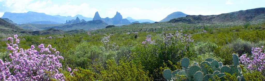
Big Bend National Park is drying out following some heavy monsoonal rains/NPS file
After a week of storm-related closures, many of Big Bend National Park's popular dirt roads and a portion of the paved Ross Maxwell Scenic Drive have reopened, the park announced Friday. In addition, the popular Lost Mine Trail has now partially reopened. Some low lying areas along the Rio Grande remain closed at this time due to high water and heavy mud.
Soaking Monsoons
Last week, heavy monsoon rains soaked most of Big Bend's deserts and mountains. Water rushing through arroyos and low water crossings resulted in damage to the Ross Maxwell Scenic Drive. The widespread rains also resulted in the park's extensive network of primitive dirt roads becoming impassable due to extreme mud and washouts. Waterlogged soils in the Chisos Mountains also caused the collapse of a section of switchbacks along the Lost Mine Trail.
Road Repairs
The Big Bend National Park road crew has made temporary repairs to a damaged section of pavement along the Ross Maxwell Scenic Drive. That road is now open as far as the Castolon historic area. Cottonwood Campground and the road segment to Santa Elena Canyon remain closed at this time due to standing water and deep mud..
Dirt Roads Reopen
Most of the park's primitive dirt roads have now dried out enough to support vehicle travel, and have reopened to allow access to backcountry explorations and access to many popular primitive roadside campsites. High-clearance vehicles are required, but four-wheel drive is highly recommended. Muddy spots remain, and drivers will need to proceed slowly and carefully. The River Road, Hot Springs Road, and Old Maverick Road remain closed for now. The status of park facilities are changing daily. For the latest updates on all park alerts and closures, please check the park's current conditions webpage.
Lost Mine Trail
The park's trail crew surveyed the damage to the Lost Mine Trail today, and have partially reopened the first 3/4 mile of the scenic route. The trail will not completely reopen until further repairs can be made.
High Water in the Rio Grande
Summer rains have also affected the Rio Grande. Rains in the Mexican state of Chihuahua have added considerable water to the network of reservoirs along the Rio Conchos, which flows into the Rio Grande near Presidio, Texas. Mexico is currently releasing water from reservoirs, resulting in significantly increased flows through Big Bend National Park. Extended high water is expected beginning late this week and extending through the weekend.
Park managers are carefully monitoring the river levels and preparing for minor to moderate flooding in low lying areas. Visitors and local residents should be extremely cautious along the Rio Grande and recognize that river levels can change quickly and without notice.


Add comment