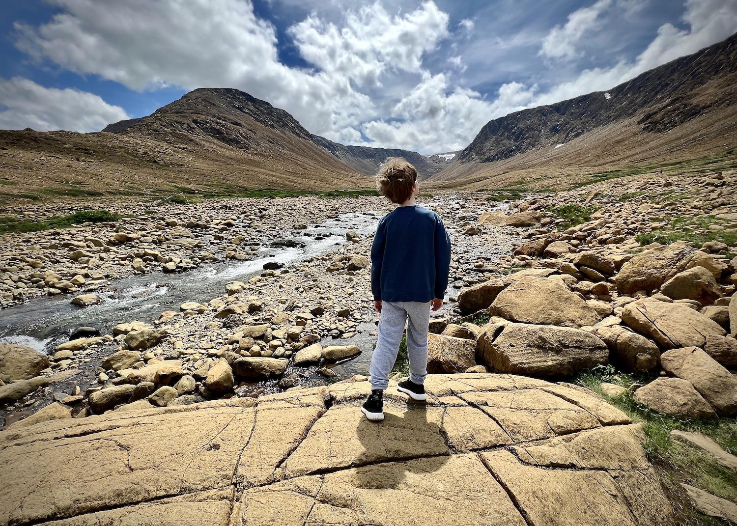
The Tablelands Trail at Gros Morne National Park skirts the base of an orange rock mountain and ends at Winter House Brook Canyon/Jennifer Bain
Soon after taking my first good look at the barren and alien orange landscape of the Tablelands, I held a heavy chunk of rusty-looking peridotite in my hands and tried to absorb its global significance.
This rock, and most of the others surrounding it, formed in the Earth’s upper mantle beneath an ancient ocean and got here because of plate tectonics. Simply put, when two continents collided more than 460 million years ago, these rocks were pushed to the surface as the Appalachian Mountains and the supercontinent Pangaea started to form.
So that’s what Parks Canada means when it says you can walk on the Earth’s exposed mantle — its inner soul, if you will — here at these surreal barrens in Gros Morne National Park. I walked the Tablelands alone that day, trailing behind my family and quietly gleaning what I could from interpretive signs, and then joined a guided public walk several days later to learn more.
“This really is one of the most special places on Earth,” interpreter Jaime Waite said to kick things off. “I always call this walk a journey to the center of the Earth. This is going to be something you’ve probably never seen before in any other place in Canada, because this is our most well developed and protected sample of anything like this in the world.”
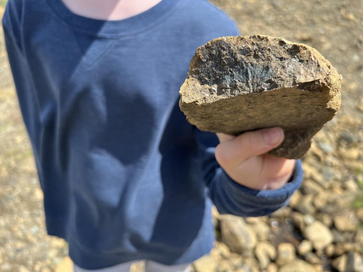
At the Tablelands, an iron-rich rock called peridotite from the Earth's mantle starts off blackish-green and oxidizes when exposed to air and water/Jennifer Bain
UNESCO declared Gros Morne’s ancient landscape a World Heritage Site in 1987, recognizing its international geological importance and exceptional beauty. Rocks throughout the western Newfoundland park reveal ancient stories of the evolution of our planet while the landscape displays the more recent effects of glaciation.
The Tablelands is touted as one of the few places on Earth where a complete cross-section of rocks from the ocean’s crust and mantle are well exposed, accessible and protected within a national park.
Inside the Discovery Centre at Woody Point, the park’s geology is described as “an ancient puzzle in five pieces” — the Tablelands, Green Point, Green Gardens, Long Range Mountains and Gros More Mountain. Each place has a story to tell, but my focus was just on the Tablelands, home to the most “alien” of Gros Morne’s rocks and a barren, flat-topped mountain that has had millions of years to erode. NASA even studied the Tablelands before going on its Mars mission
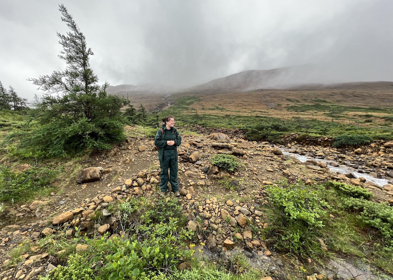
Fog shrouds the barren mountain at the Tablelands behind Parks Canada interpreter Jaime Waite/Jennifer Bain
The Tablelands anchors the south end of the park past the lush green hills of moose country and the dazzling blue ocean. View it from afar before experiencing it up close. From across Bonne Bay in Norris Point, seeing the Tablelands from a distance puts it in better context. Driving Route 431 from Woody Point to Trout River, you’ll be struck by the fact that the right side of the road is lush and green and the left side is that brilliant amber.
When I finally explored Gros Morne in July during the park's 50th anniversary year, I listened to Waite give a two-hour crash course in plate tectonics, geology and botany.
Scientists once believed that the positions of continents were fixed and unchanging. But in the 1960s, this area's confusing array of rocks provided evidence for the new and controversial theory of plate tectonics. Geologists realized that Gros Morne’s rocks came from an ocean that had been destroyed in a collision of continents. When plates collide, ocean lithosphere usually drops into the mantle. But here at Gros Morne, as Parks Canada explains, "a slab was bulldozed on top of the continent, becoming part of the young Appalachians."
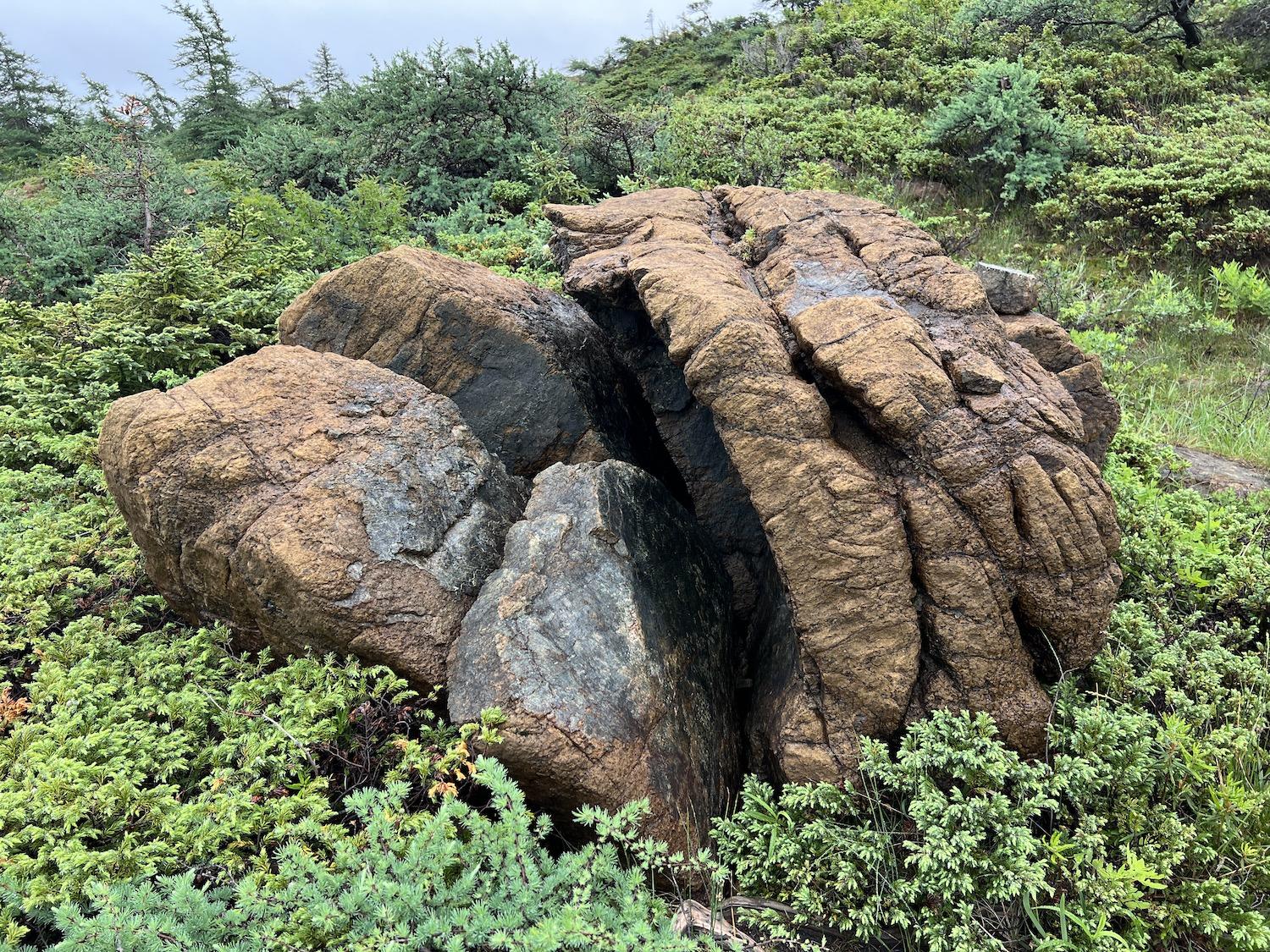
A massive piece of peridotite sits just off the Tablelands Trail/Jennifer Bain
Still confused, I asked for clarity on what was — and wasn't — the mantle in the landscape before me. “The mantle is this orange rock,” Waite replied. “Anything that has grown or adapted to survive on top of the Tablelands is separate.”
See, peridotite is only formed in the Earth’s mantle. It’s blackish-green inside but high iron content causes the surface to rust and crumble when it's exposed to air and water. It’s also rich in other metals like nickel and magnesium.
Another gorgeous rock found here is serpentinite — it's the one that looks like snakeskin. It starts out as peridotite but changes when heat, pressure and water do their work. The metamorphism of peridotite to serpentinite is still taking place at the Tablelands.
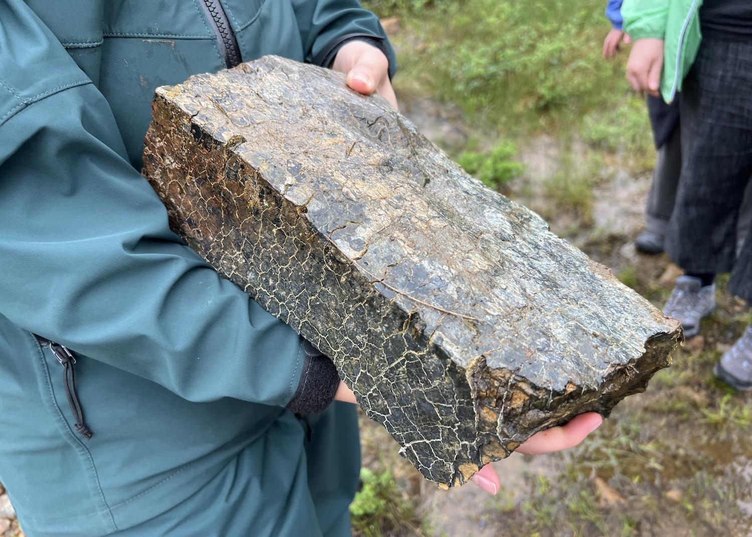
The metamorphism of peridotite to serpentinite — which looks like snakeskin — is still taking place inside the Tablelands/Jennifer Bain
People are always struck by just how barren this area is. Only specialized plants can survive in the toxic soil that these rocks produce — hardy and colorful plants like moss campion, field chickweed, common butterwort, harebell, yellow mountain saxifrage, yellow lady’s slipper orchid and balsam ragwort.
“For a plant, living here is like living in a polluted junkyard,” an interpretive sign so eloquently put it. “Serpentine soil is full of toxic metals and it contains almost no nutrients, such as nitrogen, phosphorous or potassium, and very little calcium.”
No real soil has built up in the Tablelands since the last major glaciation ended about 10,000 years ago. Combine that with the harsh climate, strong winds and ample winter snowfall and it's a wonder than anything can survive here. What few trees there are — stunted evergeens called "tuckamore" by Newfoundlanders — stick close to the ground.
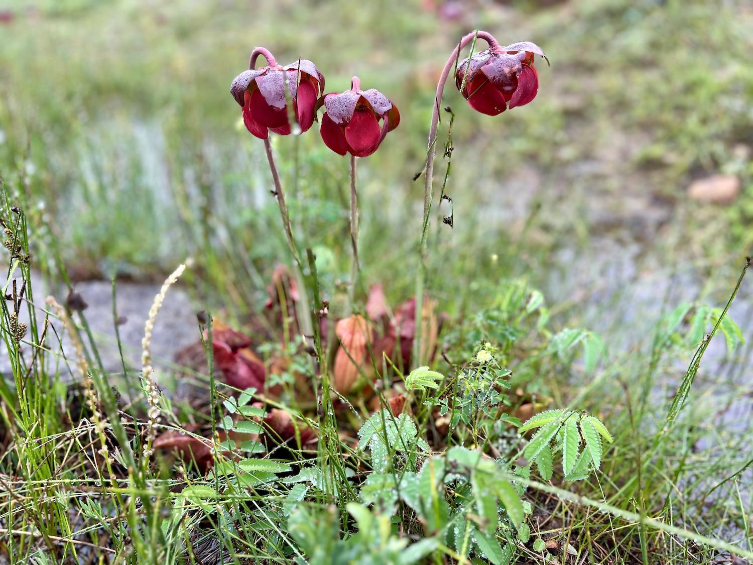
Carnivorous pitcher plants, the official flower of the province of Newfoundland and Labrador, thrive in the Tablelands/Jennifer Bain
Pitcher plants were out in full force during our walk. The official flower of Newfoundland and Labrador thrives on what Parks Canada calls “fast food” instead of soil minerals. "It's a bog living, bug eating, poop eating carnivorous plant," Waite said with delight.
Insects like mosquitos, flesh flies and the larvae of certain midges are drawn to the plant's pitcher-shaped leaves, which fill with rainwater and a sweet liquid. When the insects inavaiably drown and their bodies break down, the plant greedily devours the nutrient-rich soup.
The Xplorers guide that Gros Morne hands out to kids has fun with the carnivorous plant. It instructs junior scientists to ask park staff for a "pitcher plant stomach pump," find a plant and learn what it eats. It instructs kids to squeeze and hold the pump and stick it down as far into a water-filled leaf as it will go, "suck up the gross stuff inside," and use its "ID card" (14 insect sketches) to identify what they've found.
"Carefully put the contents back into the leaf," the guide concludes.
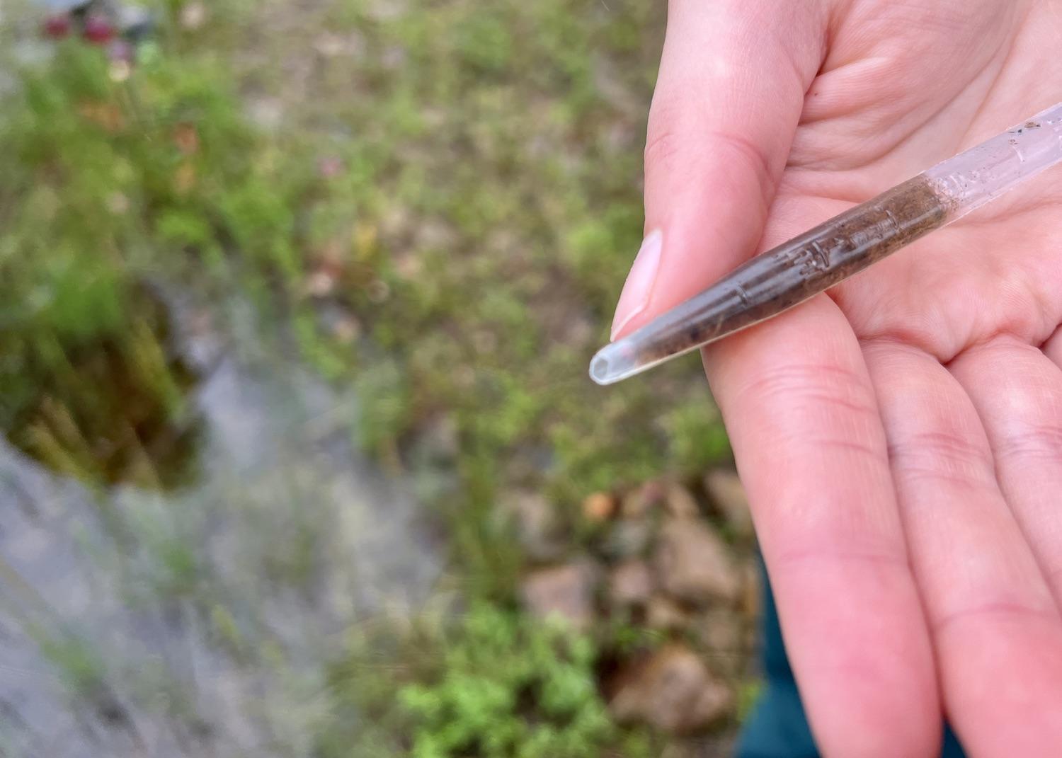
Parks Canada interpreter Jaime Waite checks out what a carnivorous pitcher plant has been eating/Jennifer Bain
We did all those steps with Waite, although she called the "stomach pump" a pipette. The "really, really good sample" we collected was full of ant heads, poop and writhing larvae.
"This is an extraordinary time to see pitcher plants because those crimson dark leaves are only there for a short season — just a couple of weeks," Waite pointed out. "I’ve never seen them this beautiful scarlet color, so I’m really happy to see them doing so well."
Before moving on, we spent a few minutes discussing how repeated glaciations have shaped this landscape, deepening its valleys and steepening its flanks. We learned that the U-shaped valley of Trout River Gulch was carved by a tribuatary of the glacier that excavated Bonne Bay.
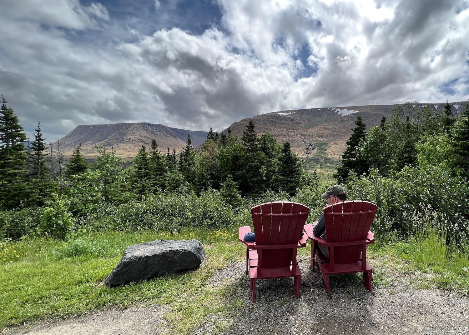
A pullout along Route 431 (Bonne Bay Road) has two Parks Canada red chairs and views of the Tablelands/Jennifer Bain
The Tablelands Trail, no surprise, is the most popular trail in Gros Morne because everyone wants to see the world-famous orange rocks. The accessible and gentle 2.5-mile trail follows an old roadbed that skirts the base of the mountain and ends in the glacially carved Winter House Brook Canyon. The trail was actually built with imported gravel and so non-native plants — like ox-eyed daisies, clover, ferry flax and green alder — thrive along it but not anywhere else.
There’s a shorter Serpentine Loop, plus an off-trail trek up the mountain’s steep slopes for experienced hikers with navigation skills. The challenging trek was beyond my capabilities, but I was grateful to spend six days in Gros Morne and see the Tablelands twice.
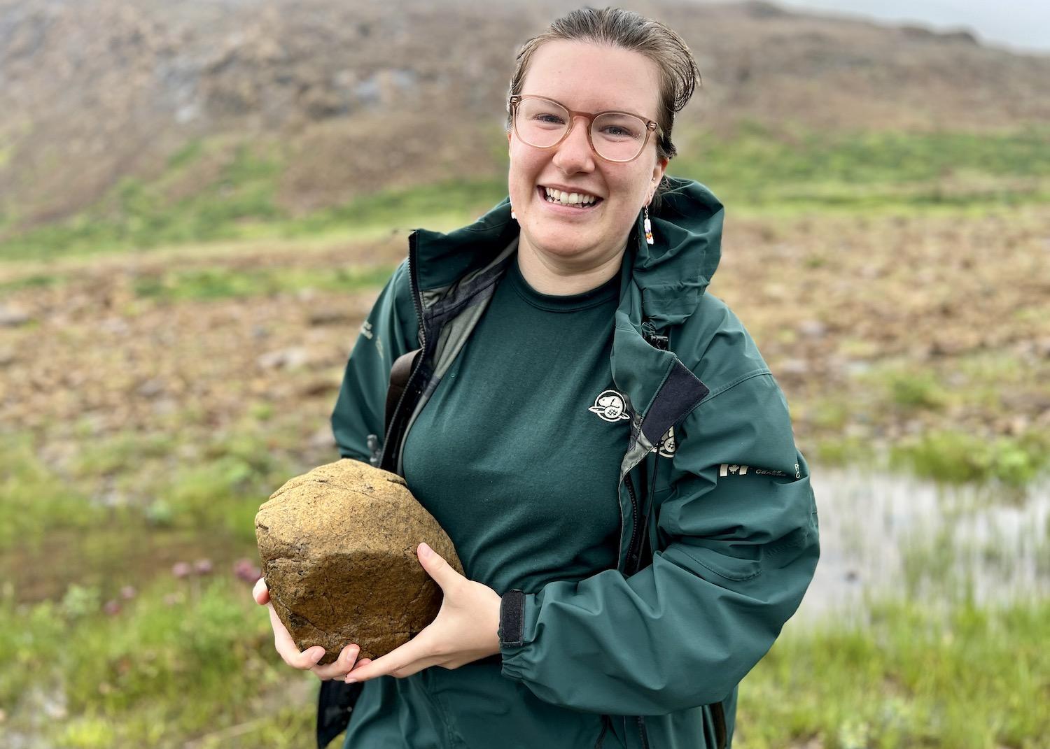
Parks Canada interpreter Jaime Waite holds peridotite in the Tablelands/Jennifer Bain
When our guided hike was over, Waite spoke about how it's a privilege to have places like this to visit and how important it is to protect them for future generations. “Whether it’s a really in-depth rock fact I told you or maybe just something gross that I said about one of the flowers, I hope you’re able to take something back with you and share it with somebody else to continue this kind of knowledge and continue this privilege of education,” she said.
That was a clever segue for one final message delivered playfully.
“There’s one more thing about taking away that I’ve not shared yet, and it’s that the Tablelands’ rocks have a really unique property in the sense that they have a really bad habit of crawling up into your pockets,” Waite said. “So in case any of them have, I have to always remind them — they never listen — that they’re protected rocks and you can get federally fined. So in case they’ve climbed on up, just make sure you throw them back into the ground.”
We said goodbye to the protected orange rocks and left with only photos.
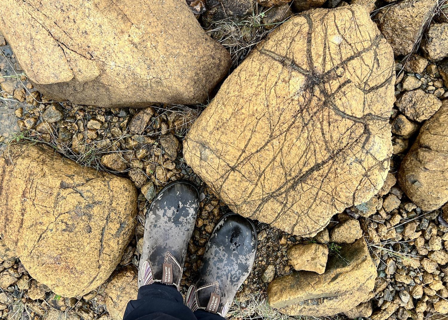
You can look at, touch and even pick up the ancient rocks at the Tablelands, but you can't keep them/Jennifer Bain


