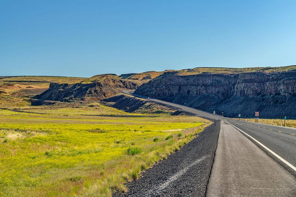
"At the time of one of the first floods to be released from Glacial Lake Missoula, the Okanogan Lobe of the continental ice sheet had spread across the Columbia Valley and onto the Columbia Plateau to a position about 24 kilometers (14 miles) north of the site and so had caused the diversion of the glacial Columbia River into the former channel of Moses Coulee. When the outburst flood occurred, violently erosive torrents rushing down the Columbia River drainage were diverted into the Moses Coulee channel, causing in a single flood event the formation of a long, deep coulee second only to the Grand Coulee in size."
The Road Out Of Moses Coulee, Channeled Scablands, Ice Age Floods National Geologic Trail
Rebecca Latson
Monday, July 11, 2022

Support Journalism about National Parks!
National Parks Traveler is a 501(c)(3) nonprofit.
The Essential RVing Guide

The National Parks RVing Guide, aka the Essential RVing Guide To The National Parks, is the definitive guide for RVers seeking information on campgrounds in the National Park System where they can park their rigs. It's available for free for both iPhones and Android models.
This app is packed with RVing specific details on more than 250 campgrounds in more than 70 parks.
You'll also find stories about RVing in the parks, some tips if you've just recently turned into an RVer, and some planning suggestions. A bonus that wasn't in the previous eBook or PDF versions of this guide are feeds of Traveler content: you'll find our latest stories as well as our most recent podcasts just a click away.
So whether you have an iPhone or an Android, download this app and start exploring the campgrounds in the National Park System where you can park your rig.
Add comment