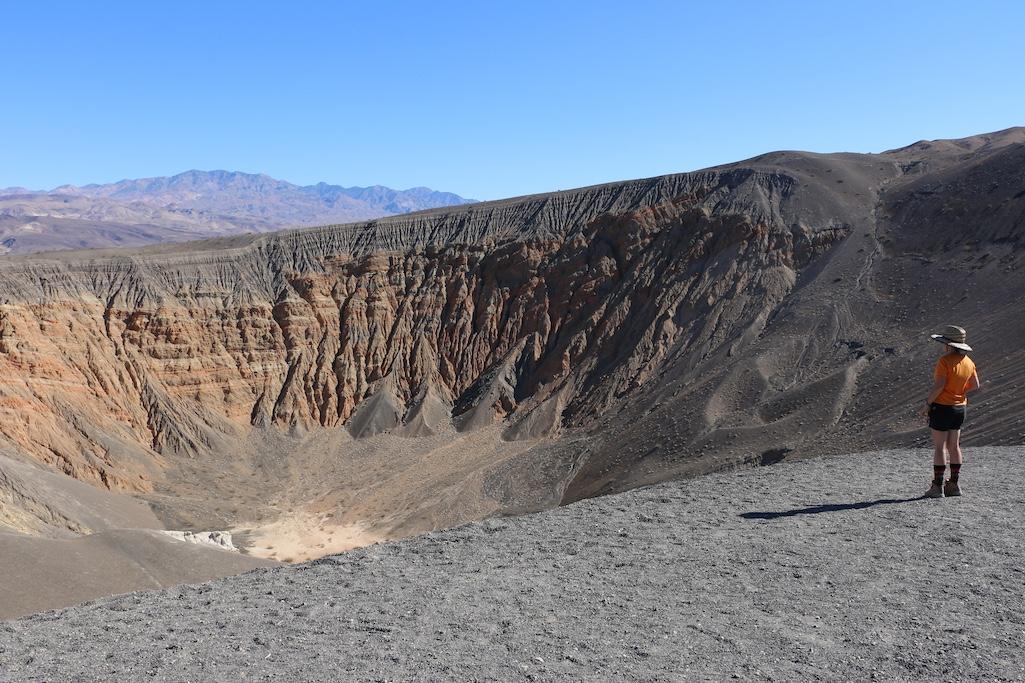
Ubehebe Crater is once again accessible at Death Valley National Park/NPS, Hannah Pauley
Four months after torrential storms spawned flash floods that undercut roads in Death Valley National Park, additional access to 95 miles of roads opened Saturday.
It’s an ideal time to visit Death Valley, according to Superintendent Mike Reynolds. “The hiking in December and January is superb," he said. "Added to that, there’s a temporary lake at Badwater and some wildflowers are out.”
The road damage caused by the remnants of Hurricane Hilary was repaired thanks to funding from the National Park Service’s Disaster Supplemental and Federal Highway Administration’s Emergency Relief for Federally Owned Roads programs. The repairs were done by contractors, NPS employees stationed in Death Valley, and NPS employees assisting from other parks across the country.
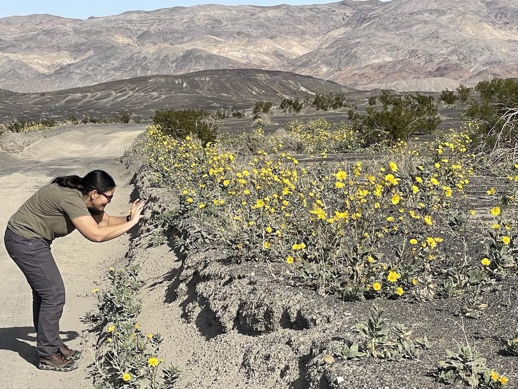
Though the calendar says December, desert gold is blooming in Death Valley/NPS, Abby Wines
Roads that reopened Saturday, Dec. 23, included:
- North Highway
- Ubehebe Crater Road
- Old Stovepipe Well Road
- Lower end of Titus Canyon Road
- Racetrack Road
- Lippincott Road
- Hidden Valley Road
- Lost Burro Mine Road
- White Top Mountain Road
These roads provide access to some of the park’s iconic features. Ubehebe Crater is a 600-foot-deep volcanic crater. There are currently unseasonable patches of pink and yellow flowers on crater’s black slopes.
The Racetrack is famous for tracks left by moving rocks on the dry lakebed. A lake was present for at least a month after Hurricane Hilary. Now the lakebed is dry again, so people can walk on it without causing damage. No vehicles or bicycles are allowed on the Racetrack.
Many of the park’s roads, including Racetrack Road, are only suitable for high clearance vehicles. Many park roads remain closed until flood repairs are completed. Mesquite Springs Campground will likely open before December 31. Information on Death Valley’s camping, lodging, activities, and road conditions is at nps.gov/deva.


Comments
There are also other agencies assisting DEVA with their flood recovery. It's not just NPS employees.
You are correct. There have been BLM employees also assisting with road work.
Caltrans and Inyo County have also done a lot of road work, but the roads they have worked on are not part of this group that just opened.