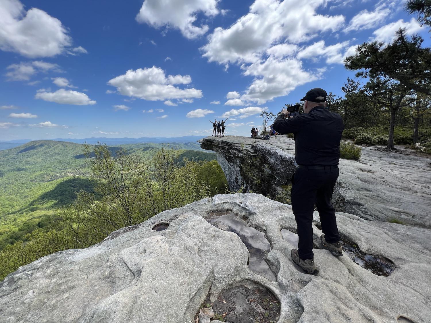
Volunteer ridge runner Bill Dawson photographs hikers at McAfee Knob on the Appalachian National Scenic Trail/Jennifer Bain
Before my first giddy moment alone on the Appalachian National Scenic Trail in Virginia, I stood in a parking lot across from the trailhead studying a stern sign and feeling anxious.
“Are you ready to hike to McAfee Knob?” it asked. “You are if you have at least two quarts of water, durable hiking boots, a working flashlight, an early start, stayed on trails at all times, high energy foods, raingear/extra clothing, COMMON SENSE.”
Without these things, it continued, you could face dehydration, cramps, headaches, sprained/broken ankles, being lost in the woods at night, or not having enough time to reach the Knob. You could damage or destroy fragile plants, wind up hungry and out of energy, or just be wet, cold and miserable.
It was 8:30 a.m. on a sunny spring day in May and while I hadn’t brought rain gear or a flashlight, I did have three layers of clothes and everything else listed for what promised to be a four- to six-hour hike.
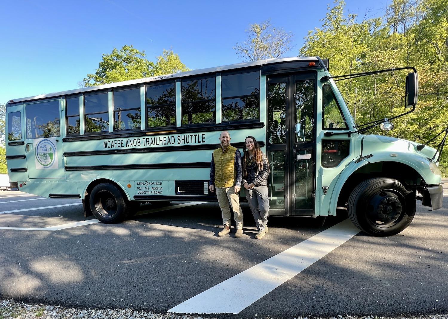
Ride Source founders Bryan Johnson and Lisa Sink run the McAfee Knob Trailhead Shuttle in the Roanoke, Virginia area/Jennifer Bain
The new Ride Source shuttle had whisked me to the trailhead so I wouldn’t contribute to the overcrowded parking lot problem. As a solo hiker, I took comfort in knowing that I was expected back in about six hours or, worst-case scenario, by the last shuttle at 6:45 p.m.
I read the pointers on being safe in bear country and used the porta-potty, painfully aware that there would be just one vault toilet over the next 7.8 miles. Construction hadn’t started yet on a pedestrian bridge that promises to get hikers safely across busy Route 311, so I waited for a break in the traffic and dashed across.
The first thing I saw as I stepped on the trail was a brilliant purple patch of irises.
The first thing I heard was the loud, whistled call of the Tufted Titmouse.
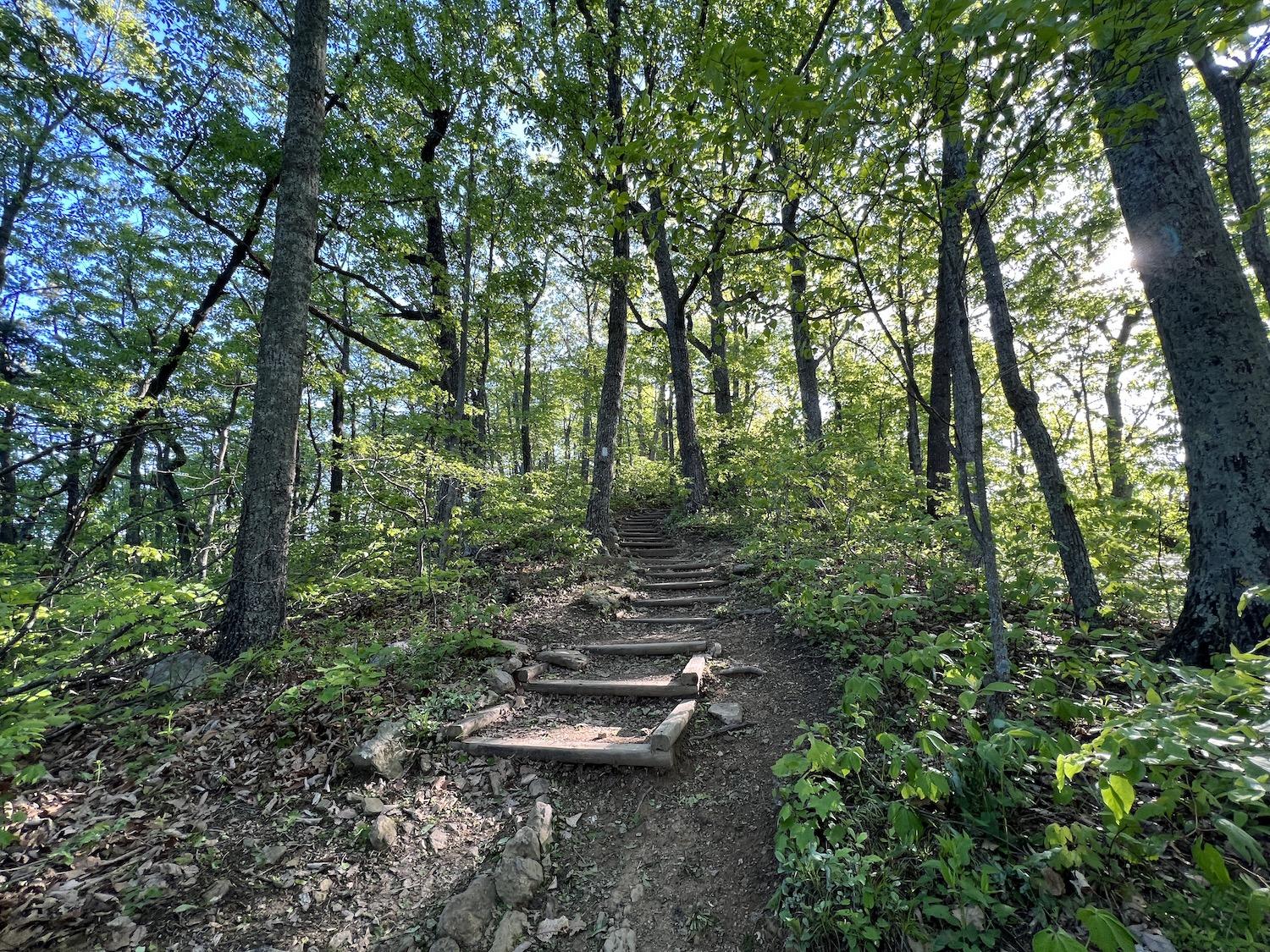
The McAfee Knob trail starts out with a short, steep climb in an instantly beautiful forest/Jennifer Bain
For those, like me, that need an introduction to the Appalachian Trail, it’s a 2,190-mile-long public footpath that “traverses the scenic, wooded, pastoral, wild and culturally resonant lands of the Appalachian Mountains” in 14 states from Maine to Georgia. Conceived in 1921, built by private citizens and completed in 1937, the trail is managed by the National Park Service, U.S. Forest Service, Appalachian Trail Conservancy, numerous state agencies and countless volunteers.
Bill Bryson famously wrote A Walk in the Woods: Rediscovering America on the Appalachian Trail and Robert Redford later starred in the film. Virginia's Blue Ridge proudly promotes three hiking legs along the trail in the Roanoke Valley as its “Triple Crown.”
I was prepared to tackle the iconic McAfee Knob but not Dragon’s Tooth and Tinker Cliffs. Dragon’s Tooth is a deceptive 4.6 miles, but it’s apparently a steep climb that ends on top of a 35-foot-tall quartzite rock spire. Tinker Cliffs is a doable 7.7 miles but has nearly 2,000 feet of elevation gain.
McAfee Knob is the longest hike by a smidge, but it’s also the gentlest and it takes you to a pronounced rock ledge with legendary views. It’s one of the most recognizable points along the trail and the most popular hike in Virginia's Blue Ridge. You’ve surely seen the photos of grinning hikers standing — or sitting — at the edge of the mountain.
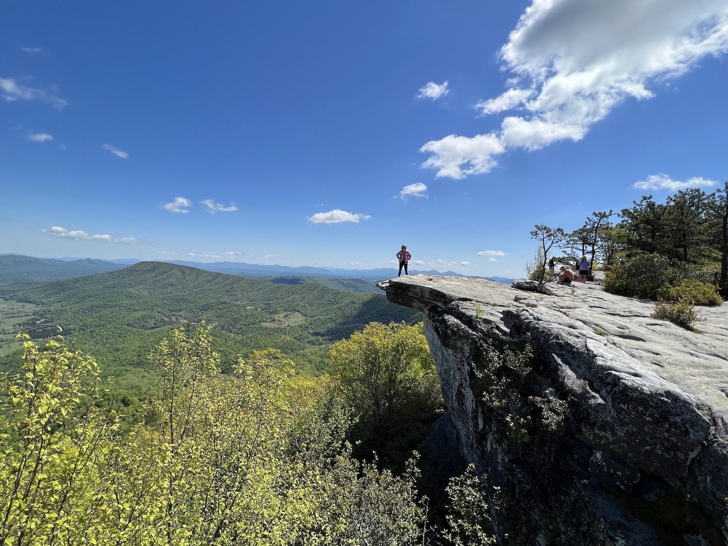
Writer Jennifer Bain takes her turn on McAfee Knob for photos/Jennifer Bain
Wild Turkey. Yellow Warbler. American Crow. Scarlet Tanager. Red-eyed Vireo. Black-throated Blue Warbler. Blue Jay.
The mountains near Roanoke were alive with the sound of songbirds that Friday morning. This I knew thanks to the Cornell Lab’s Merlin Bird ID app. You can upload photos to your phone or turn on the sound ID and see what comes up.
The mountain was unexpectedly quiet on the human front, but I wasn’t fooled — more than 50,000 people visit McAfee Knob each year.
I had been alone on the shuttle — except for Ride Source owner-operators Lisa Sink and Bryan Johnson, plus driver Jonathan Wright — and the trailhead parking lot was only a quarter full. I counted about a dozen fellow hikers on my way up to the Knob. But I also knew that Triple Crown crowding has prompted the NPS and its partners to do a visitor use management study.
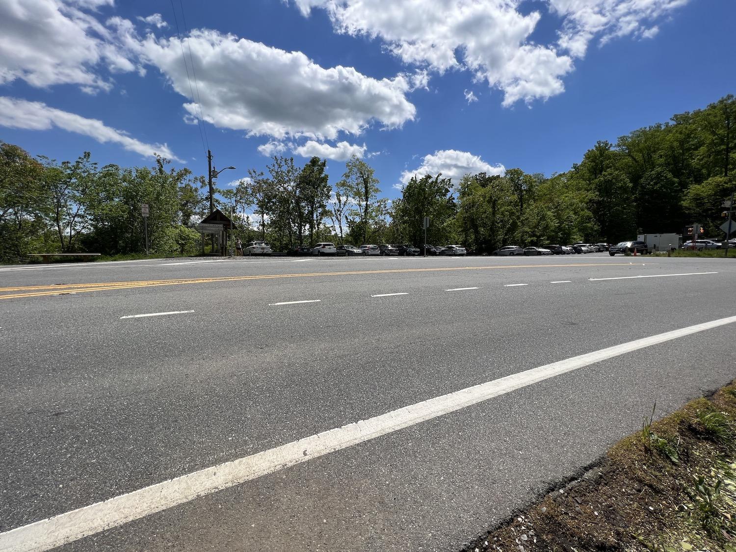
A pedestrian bridge is coming, but for now hikers must cross busy Route 311 to get to the McAfee Knob trailhead/Jennifer Bain
There have been conflicts among hikers, drone users, climbers and trail runners. Trail widening and shortcuts, as well as visitor-created campsites, are proliferating and causing loss of vegetation and erosion. Visitor-created fires and visitor-wildlife conflicts are on the rise. There’s a lack of basic amenities such as wayfinding and vault toilets. There are several dangerous highway crossings.
A plan should be unveiled this summer and strategies could include hiker shuttles, modifying or adding campsites, actively managing parking and rerouting trails. When the county put out the call last year for a McAfee Knob trailhead shuttle, Ride Source won the contract and piloted the route from September to November.
Now the shuttle runs Friday to Sunday from March to November from the Exit 140 Park and Ride. It takes just 10 minutes, 15 if the parking lot is full and the bus has to drive down to the Catawba post office to turn around. It’s $10 return.
“We want to make it easy for people to visit these places,” Sink told me. “With COVID, everything got overloved.”
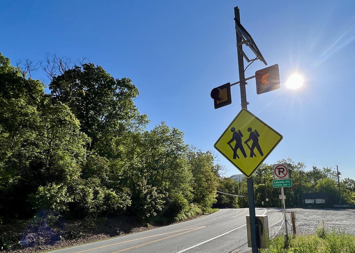
The trailhead to McAfee Knob is near the curve of a busy road/Jennifer Bain
That’s a nice way to put it.
All kinds of people started hiking and getting outdoors during the pandemic, and they didn't always know how to behave. Sometimes they show up to places like the McAfee Knob trailhead in flip-flops and t-shirts like they're going for a stroll, and carrying Starbucks coffee instead of water.
“It’s such a popular trail, I don’t think people realize you’re going on a hike,” Sink said. Indeed, seeing the Knob in so many social media posts makes it seem easily attainable. One person recently called Ride Source from the trailhead parking lot and asked for lift to the Knob, not realizing it was up to them to hike those 7.8 miles.
Hairy woodpecker. Pileated Woodpecker.
It sounded like one woodpecker drilling into a tree, so maybe the Merlin app was confused.
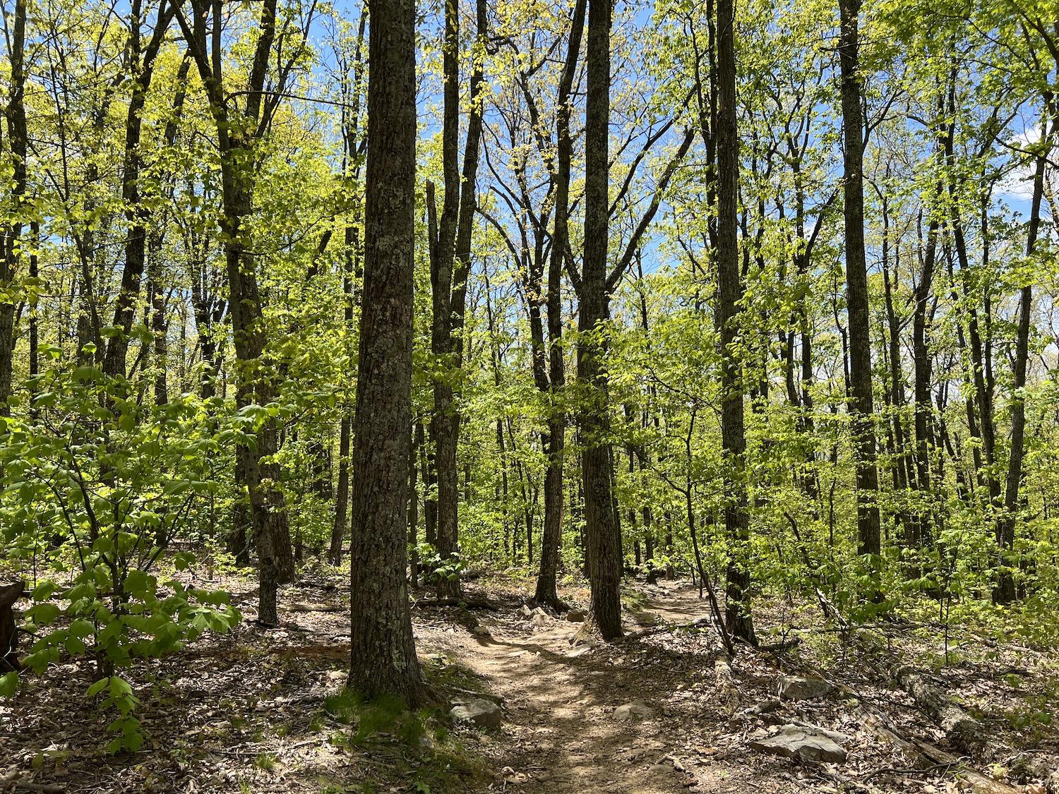
The McAfee Knob portion of the Appalachian Trail is serene in May/Jennifer Bain
The big decision you have to make when hiking McAfee Knob is what to do after the first 10 minutes when you come to a trail map and a fork. Turn right for the single-file and ridiculously scenic Appalachian Trail. Turn left for the much wider, easier and flatter Fire Road.
I took the trail up because I’m a morning person and wanted to harness that first burst of energy. I took the road down because it’s easier on the knees. But I’m getting ahead of myself.
As I eased into the rhythm of the hike and reminded myself to slow down since I had nothing else planned for the day, I took two short detours to check out camping shelters.
The Johns Spring Shelter honors the late John P. Haranzo, a beloved Roanoke Appalachian Trail Club volunteer, and his dog and hiking companion Chester. There’s a memorial plaque with a poem by Haranzo, and a newspaper article that explains that he committed suicide in 2001. His family funded the shelter but since they aren’t usually named after people, everyone agreed to dub a nearby spring Johns Spring so the shelter could become Johns Spring Shelter.
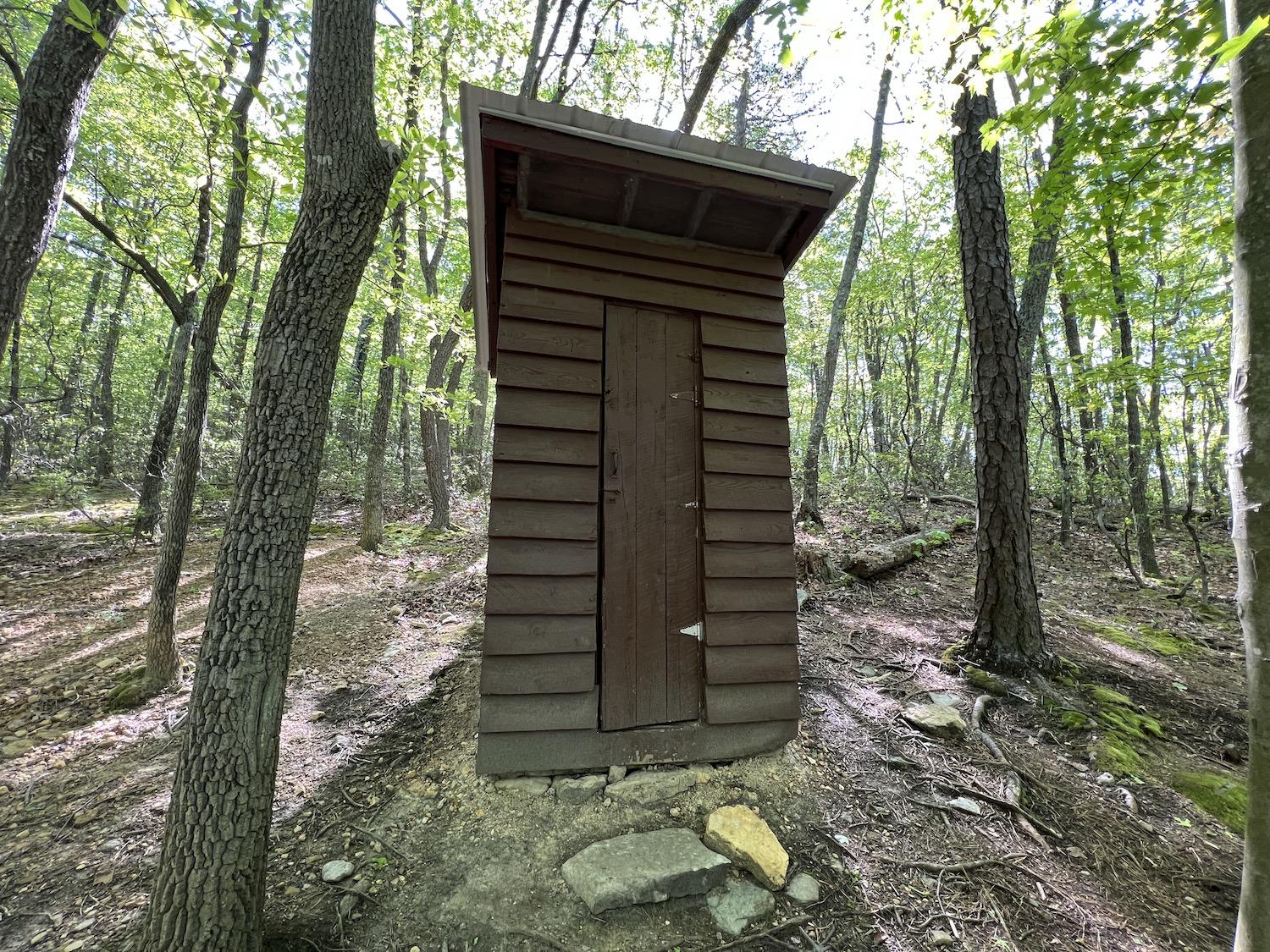
A single toilet can be found along the Appalachian Trail side of the McAfee Knob route/Jennifer Bain
The other shelter, Catawba, was near a lovely wooden vault toilet nestled in the trees. It was also near a reforestation area with a handful of discreet signs urging people to stay on the trail to help restore natural plant life.
Wood Thrush. Eastern Towhee.
The woods got quieter for a spell until I hit the place where the trail reunited with the fire road. From there, it was a final 1.3-mile uphill push to the overlook, which sounds easier and shorter than it was. Or maybe I was getting tired.
At the top, I saw the astounding view but also witnessed first-hand why volunteers are the soul of the Appalachian Trail.
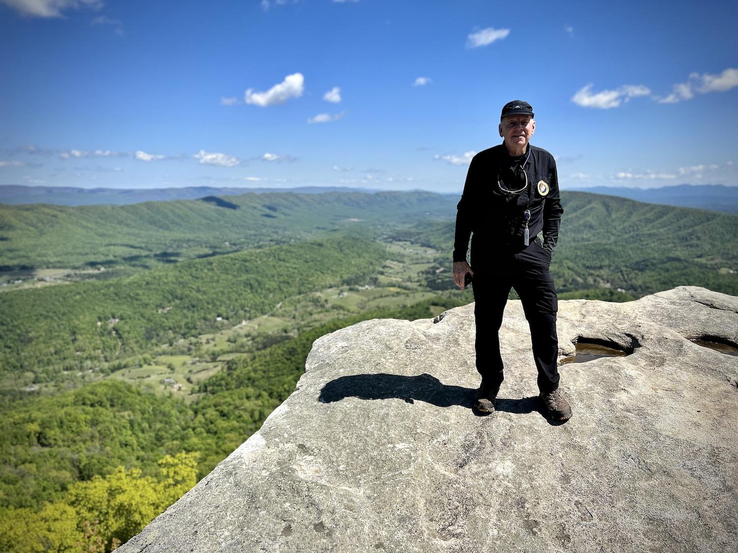
Retired clergyman Bill Dawson is a volunteer ridge runner with the Roanoke Appalachian Trail Club/Jennifer Bain
Volunteer Bill Dawson was there welcoming people. The Roanoke Appalachian Trail Club “ridge runner” checks shelters, campsites and water flows. He carries clickers to count “day hikers” like me, “section hikers” overnighting while doing the Triple Crown, and “through hikers” walking from Maine to Georgia or vice versa.
A 74-year-old retired clergyman, Dawson also loves offering to photograph people. “This is the fun part — the social. Everyone’s excited to be here and for most of them it’s the first time. We meet people from all over the world. This is on their bucket list and here it was in my back door and I didn’t know it until I was 70 years old. It has turned into an addiction for me. I just love it.”
We chatted in fits and spurts, in between hikers, and I learned that Dawson volunteers here three times a week during "trail season" (but hikes it personally year-round). His wife won’t join him because of the dearth of toilets.
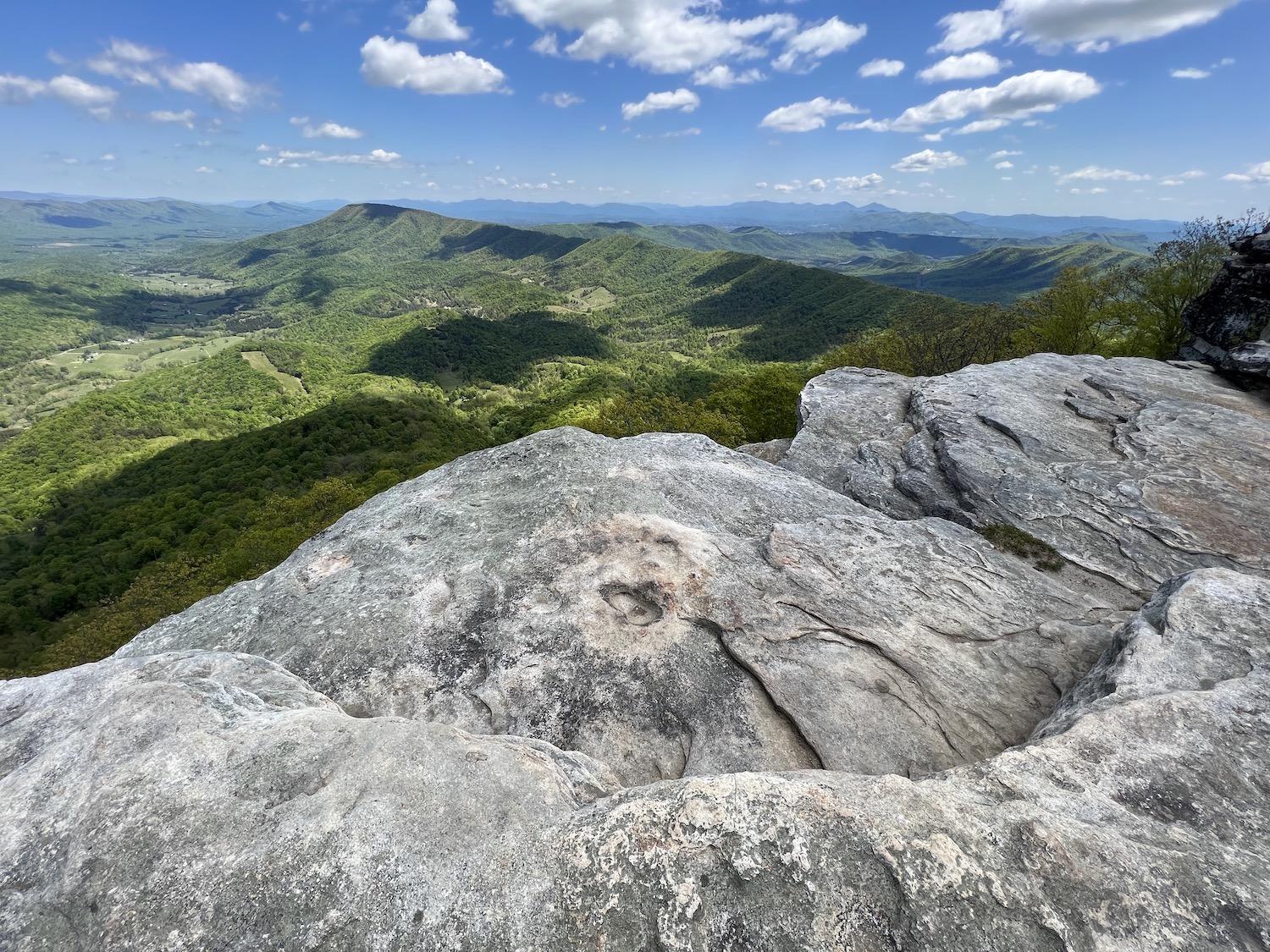
Those photos on McAfee Knob look dangerous, but there are actually several ledges hidden from view/Jennifer Bain
I devoured sweet and salty trail mix, and finished half my water, while watching a young dad change his baby’s diaper on the ground. I listened to tourists from Germany, Minnesota and upstate New York rave about this special place. I watched people politely take turns standing on the Knob for a photo. Well, there was one guy who got a tad peevish when asked to pack up and move out of the prime photo spot.
By the way, that photo spot looks more dangerous than it actually is because there’s another couple of feet of rock ledges that you can’t see until you’re standing there.
Clive Hillyard, another ridge runner, wandered by to talk about all the trash he’d picked up that morning. He and Dawson talked about a wedding that took place on the Knob that morning, and all the proposals they’ve seen.
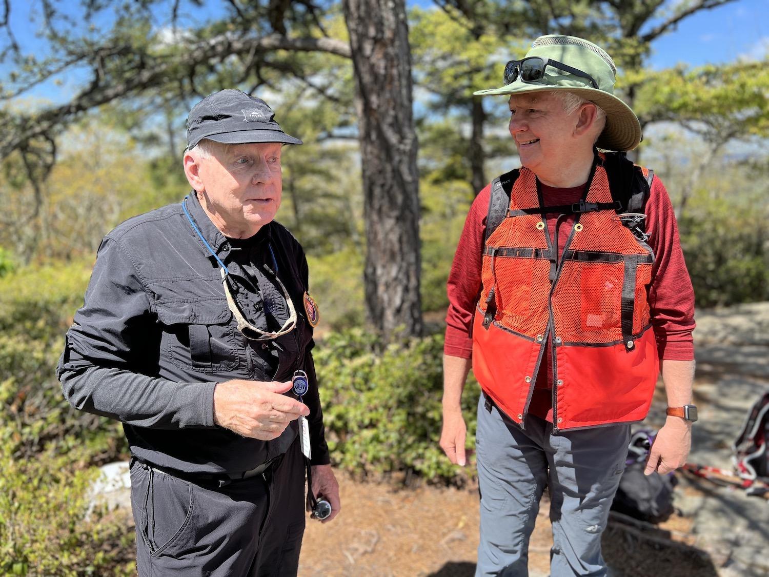
Volunteer ridge runners Bill Dawson, left, and Clive Hillyard, right, chat with each other/Jennifer Bain
It’s fair to say that McAfee Knob never disappoints. Dawson loves being a witness to people's joy.
“Oh, you rock — thank you so much,” a group of day trippers told him as they left after securing their photos.
“Thank you again,” enthused another guy. “That was cool.”
I spent most of my time at the top transfixed by a hyperactive bird that looked like a plump robin but with a white breast and some reddish-brown coloring. It was an Eastern Towhee, which are hard to spot because they usually hide in the undergrowth. This one hopped all over the rocks almost mimicking the steady stream of hikers that was coming and going.
After the towhee flew off into the shrubs, it felt like my cue to leave. This time, when I got down to the trail-fork junction, I took the Fire Road.
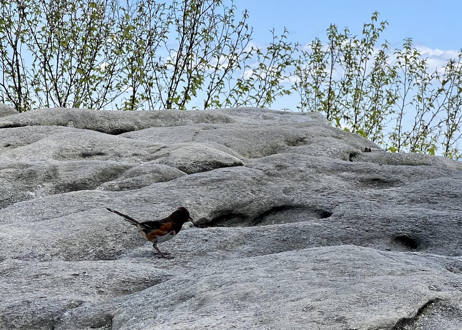
I only had a cellphone camera when this Eastern Towhee hopped by/Jennifer Bain
Dark-eyed Junco. Great Crested Flycatcher. Eastern Towhee. Carolina Chickadee. Northern Cardinal. Scarlet Tanager. American Redstart. Blue-gray Gnatcatcher. Northern Mockingbird. Chipping Sparrow. Worm-eating Warbler. Indigo Bunting.
“It takes some skill to read while you’re hiking,” said one breathless man, nodding at my hardcover notebook and not seeing the phone balanced on the open pages to catch the bird sounds.
Next time I’ll carry binoculars to look for birds instead of just listening to them.
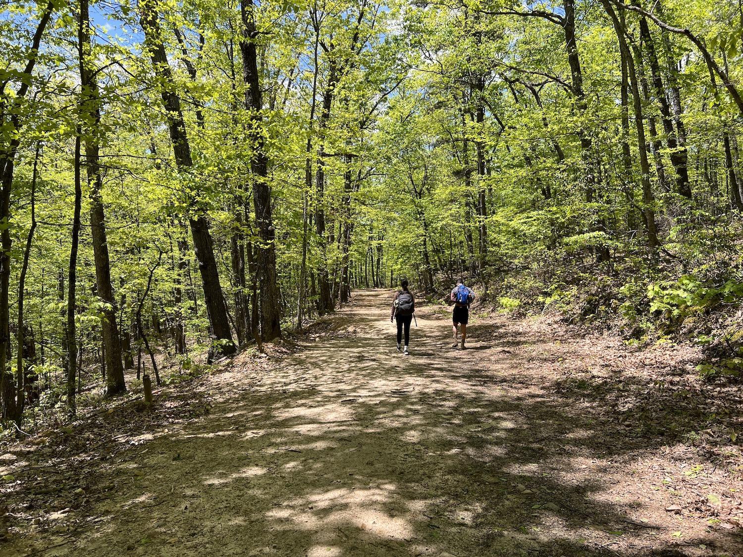
The Fire Road is a wide, flat and easy option for part of the McAfee Knob hike/Jennifer Bain
It takes most people four to six hours to hike McAfee Knob. For the record, it took me six hours — 2-1/2 hours up, 90 minutes lingering at the top, and two hours down. But I could have enjoyed another four hours and caught the last shuttle if I was more patient person and not so goal oriented.
Just as I was feeling guilty about taking the “easy” and obviously less-traveled route down, a young deer darted across the road. It stood motionless in the bushes until I made eye contact and it realized I could see it. Then it dashed away, madly waving its white tail while it thundered across the brittle carpet of dead leaves.
Eventually I stumbled unscathed off the trail and crossed the road to a parking lot that was now nearly full. I had been told I was likely to wait up to 15 minutes for the shuttle to arrive. It rounded the corner just seconds later.
While You’re In The Area:

The Liberty Trust hotel in Roanoke started life as a bank and is on the National Register of Historic Places/Jennifer Bain
To get my first taste of the Appalachian Trail, drive the Blue Ridge Parkway and visit the Booker T. Washington National Monument (more on that in an upcoming story), I used the Liberty Trust in downtown Roanoke as my base. The seven-story hotel is on the National Register of Historic Places and dates back to 1910 when it started life as the First National Bank. There are preserved copper doors on some of the rooms, a vintage mail drop box and two original vaults. At the Vault at the Liberty Trust restaurant, chef Andy Schlosser (the hotel's general manager) designs the constantly changing dinner menu around a travel theme with global dishes like the khachapuri (a traditional cheese-filled, boat-shaped bread from the country of Georgia) I devoured after my McAfee Knob hike.
Roanoke is nicknamed the "Star City of the South" so a drive to the Roanoke Star is a must. It sits on Mill Mountain and is illuminated every night, making it the world's largest, free-standing, man-made, illuminated star. Constructed in 1949 from 2,000 feet of neon tubing to serve as a seasonal Christmas decoration and be a symbol of the city's progressive spirit, the 88.5-foot-high star (which is actually three stars) is also on the National Register of Historic Places.
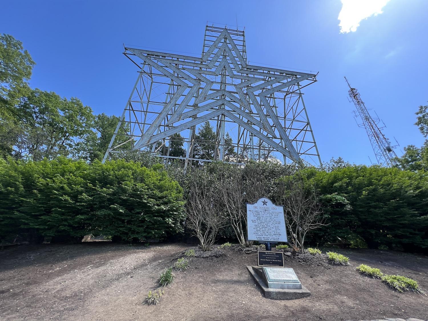
The Roanoke Star looms over the city and is also on the National Register of Historic Places/Jennifer Bain


