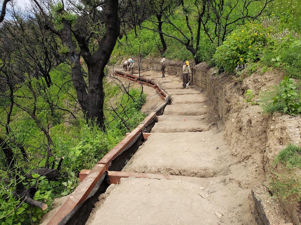
Work restoring the Backbone Trail through Santa Monica Mountains NRA after last year's wildfire has been completed/NPS
Eight months after the largest fire to ever hit Santa Monica Mountains National Recreation Area, all 67 miles of the park’s most famous trail have finally reopened to the public. The final six miles of the Backbone Trail that had remained closed since the November fire re-opened on Thursday.
The Woolsey Fire hit the section of the trail that runs from the Kanan Road trailhead east to Corral Canyon Road particularly hard, destroying 120 feet of retaining wall and littering the trail with dangerous tree limbs. Winter storms further complicated recovery efforts. The National Park Service trail crew, with key assistance from the California Conservation Corps and the Santa Monica Mountains Trails Council, worked diligently to make the trail passable and to restore full trail connectivity to the popular trail.
“We know that the Backbone Trail is one of the most beloved trail experiences in the Los Angeles area and we are delighted to re-open the full network to the public,” said David Szymanski, superintendent of Santa Monica Mountains National Recreation Area. “This weekend’s weather is shaping up to be pretty ideal for trail enthusiasts to come check it out.”
Visitors are asked to stay on trails and be aware that numerous safety hazards still exist. Hikers going off trail can cause more damage to newly restored trails, trample new plants, and prevent the re-growth of fragile vegetation.
The Backbone Trail, completed in 2016 after a 40-year effort to acquire the patchwork of land parcels, traverses one of Southern California's largest remaining tracts of undeveloped landscape, a well-preserved mix of chaparral-covered hillsides, oak woodlands, and rocky outcrop spires. The trail stretches from the city of Los Angeles to Ventura County and crosses California State Parks, Mountains Recreation and Conservation Authority, and National Park Service lands. Plan your hike at nps.gov/samo/planyourvisit/backbonetrail.htm.
The Woolsey Fire in November 2018 burned 88 percent of all National Park Service land in Santa Monica Mountains National Recreation Area, including 112 miles of trails and more than 30 structures. With the re-opening of the Backbone Trail, only small park sites at Arroyo Sequit, Peter Strauss Ranch, and Rocky Oaks remain closed. The park is currently pursuing a multi-year re-building strategy, with facilities at Paramount Ranch as the top priority.


Add comment