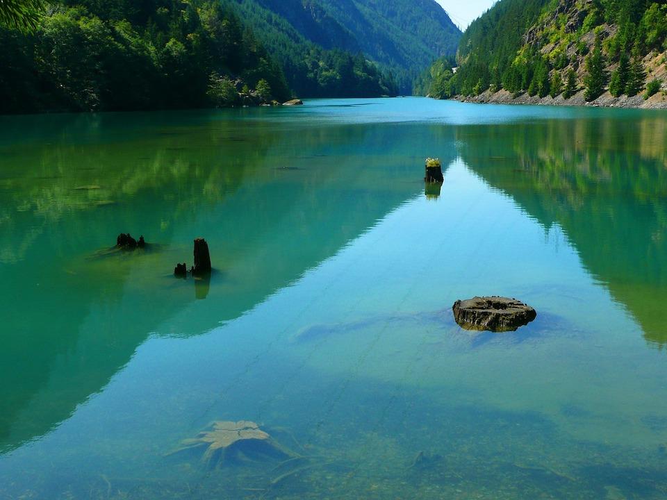
A poor winter's snowpack and reduced rainfall in the Skagit Basin mean impacts to recreation at Ross Lake in the North Cascades National Park Complex this summer/Brigitte Werner, Pixabay, file
Recreation at the Ross Lake in the North Cascades National Park Complex this summer will be impacted by lower than normal water levels due to a below average snowpack and decreased rainfall in the Skagit Basin.
Seattle City Light is predicting that water levels in the lake, which actually is a reservoir, at the utility’s Skagit Hydroelectric Project will be significantly lower than normal during the upcoming summer months.
Ross Lake and the surrounding Ross Lake National Recreation Area, administered by the National Park Service, will be open to visitors. However, the lower level of the reservoir will impact the availability of some visitor facilities, services, and recreational opportunities, according to a park release.
Lake levels and recreation on Diablo and Gorge Lakes should not be impacted.
Effective immediately, the following areas in Ross Lake National Recreation Area are closed:
* all campsites accessed by boat on Ross Lake are closed to overnight use;
* the exposed lakebed to the full pool line unless in designated areas; and
* the boat ramps at Hozomeen.
These temporary closures are in effect for public health, safety, and resource protection, park staff say. The low lake levels impact the park’s ability to pump out the vault toilets, the exposed lakebed provides difficult terrain and hazards from unstable trees, and visitor use within the exposed lakebed could impact park resources.
Lake levels and on-going management assessments will determine when campsites and boat ramps reopen. If campsites are opened they will be available on a first-come, first-served basis. Every effort will be made to refund campsite reservations on Ross Lake. On a limited basis, campsites will be open for permitted hikers on multi-day trips in Ross Lake National Recreation Area.
Boaters should be aware of an increase in the risk of encountering submerged trees and logs. Day users should be prepared to haul their boats and supplies across muddy flats or up steep, loose terrain to access trails. Bring extra lengths of line to secure boats to stumps, trees, or rocks. Not only is the water well below the normal shoreline, the reservoir could rise significantly in a 24 hour period. While trails may be usable, there could be up to several hundred feet of exposed rock, dirt, and wood between the water and the normal shoreline at full pool. The extent in any given location is dependent on topography.
Access to the Ross Lake at Hozomeen will be limited, as all boat ramps will be closed. Designated areas will be established to provide access for canoes, kayaks, and other small boats. All vessels and gear will need to be carried to the water’s edge to avoid damaging the lake bed. All water craft must be removed from the lake at Hozomeen by nightfall. Driving, camping, walking, or building fires on the exposed lake bed is prohibited.
The typical pool elevation in July and August is between 1600 and 1602.5 feet. Currently, City Light estimates Ross Lake will be as much as 25 feet below those levels for the entire summer. The Skagit basin received only 4.4 inches of precipitation during February and March 2019, the driest March since 1992, compared to a 30-year average of 15.56 inches. Snowpack in the Skagit basin declined by 18 percent in March and was only 75 percent of normal (1992-2019) as of April 15.
Levels were further impacted by a need to release water from the reservoir to supplement flow in the Skagit River to protect Chum salmon redds. Tributary inflows to the Skagit River between Newhalem and Rockport were far below normal in March requiring release of about 900 cubic feet per second (cfs) more water than normal to the river downstream of the Gorge Powerhouse throughout the month and into April. Higher than normal releases to the river will continue until June 7 or until tributary inflow increases.
For information related to the drawdown and current lake levels, please contact:
Julie Moore, Communications
Seattle City Light
206-615-0978
[email protected]


Comments
this photo is not Ross Lake, this photo is Gorge Lake at milepost 127. you can clearly see Highway 20 in the background.
That's actually milepost 126.....