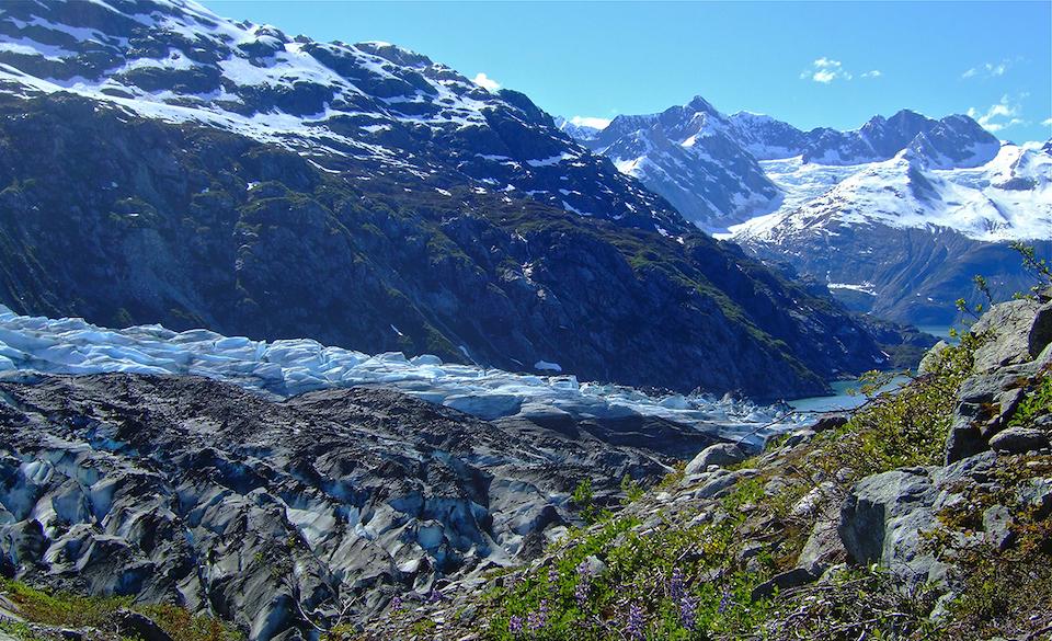
Glacier Bay National Park staff is beginning work to update the park's backcountry management plan/NPS
There are more than 2.5 million acres of official wilderness -- encompassing land and water -- in Glacier Bay National Park and Preserve, an area larger than Yellowstone National Park, and managing that incredible landscape in Alaska is no easy task. With that in mind, Glacier Bay staff is seeking public input for updating the park's backcountry management plan.
Planning is in the early stages, with no proposed management actions at this time. Public feedback is being sought on targeted topics through April 21 to help the park staff learn what the public values about the backcountry areas to help inform an update of the 1989 Glacier Bay National Park Wilderness Visitor Use Management Plan.
The planning process is expected to examine current and potential visitor opportunities, and develop long-term strategies for protecting resources and connecting visitors to key park experiences and values. One of the questions the staff is seeking answers to is, "What do you think about the NPS constructing new trails in a small portion of the backcountry (originating from road-accessible trailheads in the Gustavus area)?"
Park Superintendent Philip Hooge invites everyone to participate in the planning process to help us “preserve the exceptional Glacier Bay backcountry experience and address changing visitor interests in backcountry off-vessel experiences.”
You can find an informational newsletter on the Backcountry Management Plan effort and submit comments on targeted topics at this page.
A draft management plan is expected to be available late this year.


Comments
I am very much in favor of GBNP working with the Gateway Community of Gustavus to construct improved trails conncting the park to the Gateway Commuinty. I believe the precident has already been set in West Virginia where NPS is connecting three Gateway Communities with three different Parks. Our land is very flat and would be quite easily accessed by hardened trails. I am reasonably certain NPS has trail funding mechanisms in place already. I would gladly voluteer to help lay out connecting routes and lend my knowledge of local soil properties. I have already done some aerial videos of the local area. Thanks for your consideration. Our community needs your support!