
With winter on its way, the high season at Joshua Tree National Park in California is on its way as well. And what better way to prepare for a Joshua Tree adventure than finding a guide to help you make the most of the park's hikes?
There are plenty of disturbing stories of hikers who headed out into Joshua Tree's high desert landscape without properly preparing or carrying maps with them, and most of those end in death. Even with a guidebook or map there's no guarantee you won't get lost, but they should lessen the odds.
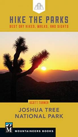
Scott Turner in this new title hails from Southern California and has spent more than a little time in Joshua Tree. From that field testing, he produced a more than 200-page guidebook that includes details on 38 hikes or destinations in the park, and supported his words with maps and color photographs.
He prefaces the heavy duty descriptive writing with a front-of-the-book "Hikes At A Glance" chart that can help you locate hikes in various areas of Joshua Tree, see how long each is and what elevation gain you'll have to deal with, and whether he considers the hike easy, moderate, challenging, or strenuous. In other words, you can quickly assess the possibile day hikes in Joshua Tree and decide which might be for you.
That front-section material also includes a map of the park that shows were the various sections Turner describes -- Black Rock Canyon, Queen Valley, and Lost Horse Valley, for instance -- can be found. You'll also find the requisite sections on flora and fauna, geology, visitor hot spots, and nasties such as "danger noodles," aka rattlesnakes.
As for individual hike entries, Turner opens with the basics -- distance, elevation gain, difficulty, trail surface, helpful USGS maps, and GPS coordinates -- as well as a little user-friendly information, such as whether there's a restroom at the trailhead, whether there's limited parking at the trailhead, whether the hike is good for kids, or whether there's something of historical significance along the way. He then delves into the actual hiking details, such as what you'll see and encounter along the way.
Each entry also has its own map, but these are not topographical maps and so it would behoove you to either pick up a USGS map or make sure the mapping app on your phone has the hike in question among its inventory, and that you don't need cell reception to use the map as you hike.
The fact that the book is 4 inches by 7 inches is a plus, as you can easily slip it into a pocket or your daypack. It would have been nice if there were some blank pages or enough room in the margins to jot down your own notes as you hike along. Still, for first timers visiting Joshua Tree, this is a good resource for getting out and enjoying the landscape.


Comments
Thanks so much for the review! Happy hiking!